This interactive map of Portugal, created by XREI, shows the country’s administrative divisions from regions and districts to municipalities and parishes, along with its cities. Each area includes population data, with the total population of Portugal provided for context. The map provides a geographic view of Portugal and its administrative structure, allowing the different levels and their population figures to be explored in relation to one another.
Visit and interact with this map at XREI’s Portugal Map.
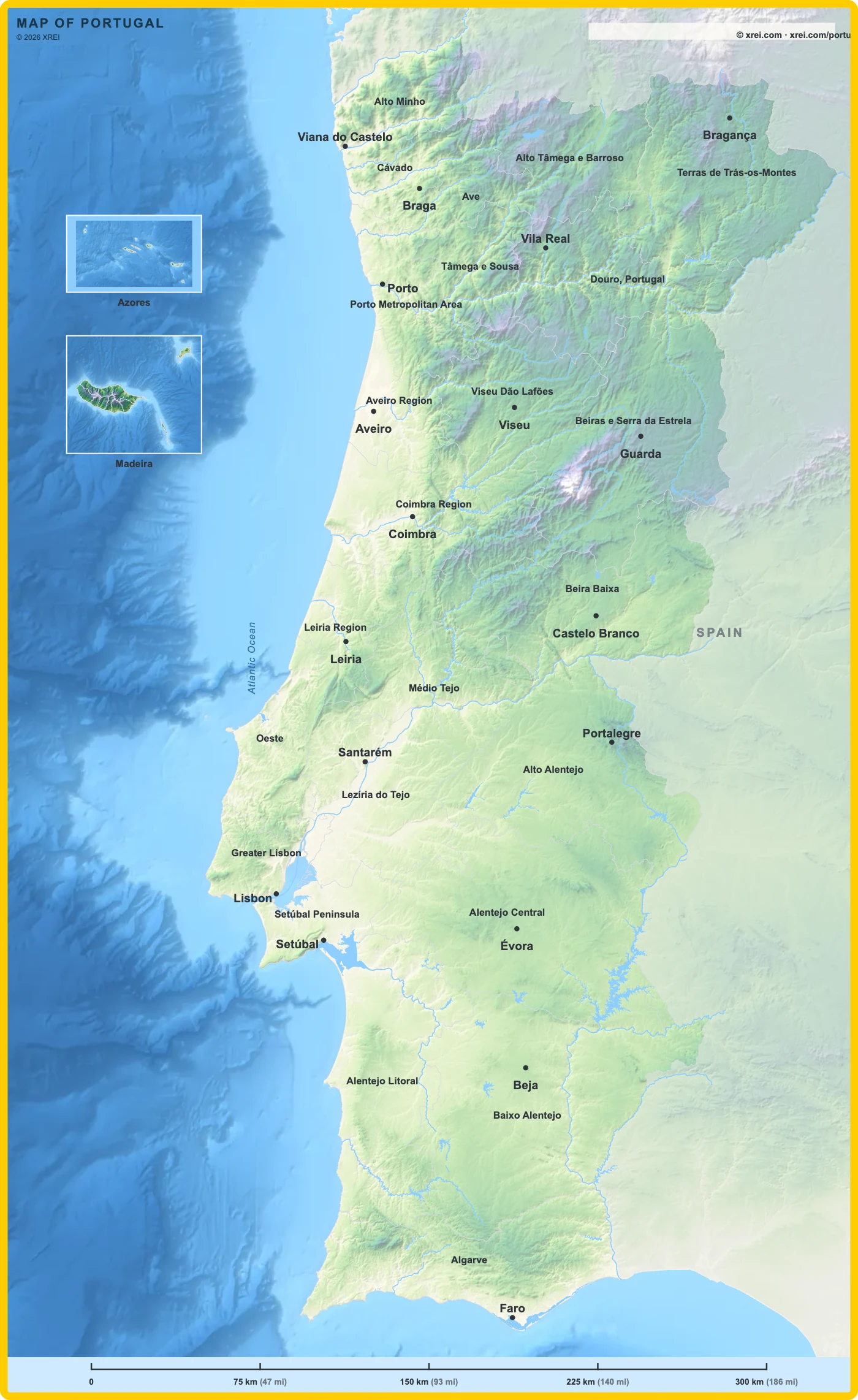
Visit and interact with this map at XREI’s Portugal Map.